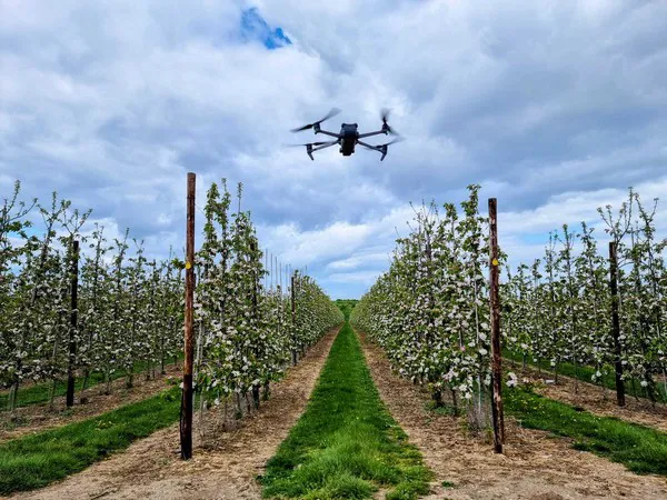
Using drones to get all the data regarding an orchard’s status, the fresh produce industry is ready for it says Outfield co-founder Oli Hilbourne: “As the effects of climate change become increasingly concerning, many farmers will be put under pressure to mitigate events out of their control. The Outfield system can’t fix climate change, but it can provide growers with the information they need to safeguard against risk. And so, our platform is a smart tool for farmers, agronomists and other professionals working in the agricultural industry. It works with drones to collect data on orchards and farms, allowing users to save time and money with automated flight plans and return-to-home functionality.”
Combined with a platform that processes the information the drones pick up, Outfield aims for ease of access, Hilbourne explains. “Our platform allows users to scan their orchards quickly and easily. Once they’ve uploaded their data to the platform, they’re be able to access flight plans and maps in just a few clicks, so no more manual labor needed. The custom flight plan lets you focus on collecting data instead of worrying about getting lost in an unfamiliar area. With its smart flight modes, the drone will return to its precise landing point without fail.”

“In today's farming world, data needs to increasingly drive decisions. We provide growers with the crop monitoring data that they need to make the right decisions on the farm. Our system provides growers with a range of different outputs throughout the season, each one intended to help with management of a different part of the growing season. Harvest, transport, and storage can be planned more efficiently when fruit counts and yield estimates are accurate. The data helps secure sales contracts and prime the supply chain, ensuring growers can get the best price for their crop.”
Tree sizes, fertilizer, weak or strong growth areas, Hilbourne states that the Outfield platform can provide all of this information. “Outfield fruit loading maps show where the trees are over and under loaded against the target fruit-per-tree number for the block. This can be used to plan hand thinning better, avoiding it where it’s not required. Growers can also use the system to assess tree size across the orchard. This information can be used to identify strong or weak areas of growth, and we are currently testing out how this data can be used to drive precision nitrogen application. Applying fertilizer to just the weakest parts of the orchard is an instant cost saving given the high price of nitrogen at the moment, and leads to improved homogeneity across the block.”

The drones do not need a pilot and will fly their route on their own, however Hilbourne emphasizes that for safety, a human being should always monitor the process: “The drones autonomously follow a pre-prepared flight plan set by the system. The only human intervention needed is for the user to press start and to monitor it during the flight for safety. However, we are seeing fully autonomous drone solutions hit the market, and Outfield is actively preparing for this. In a few years we will see drone systems in a box or hive somewhere on the farm, that autonomously carry out multiple different surveys throughout the day. Companies like DJI, American Robotics and Skydio are testing these systems out now, and they will be coming soon.”
Having a drone get all the data on the fly saves a lot of manhours, Hilbourne says. “Doing fruit count estimates with a drone is about 20 times faster than doing it manually. Apart from speeding up the process, drones also produce more accurate and consistent data than manual hand counting. The system can also reduce the labor needed for hand thinning. Precision application of thinning agents can be used by growers to control fruit loading on trees. Effective thinning application can reduce or even eliminate the need to do hand thinning in the orchard later in the season, which represents a huge saving in man-hours for growers.”
“Because the drone surveys are so quick, growers can carry out multiple surveys of the same orchard during the season. A survey of a ten-acre orchard takes just 15 minutes. There are certain times in the growing season when growers will need a lot of information about the crop development, particularly blossom time and during harvest. This is where a drone-based crop monitoring system really proves its worth, allowing a single user to survey 150 acres or more in one day,” Hilbourne concludes.
For more information:
Outfield
Email: chloe@outfield.xyz
www.outfield.xyz
